STATE OF NORTH CAROLINA
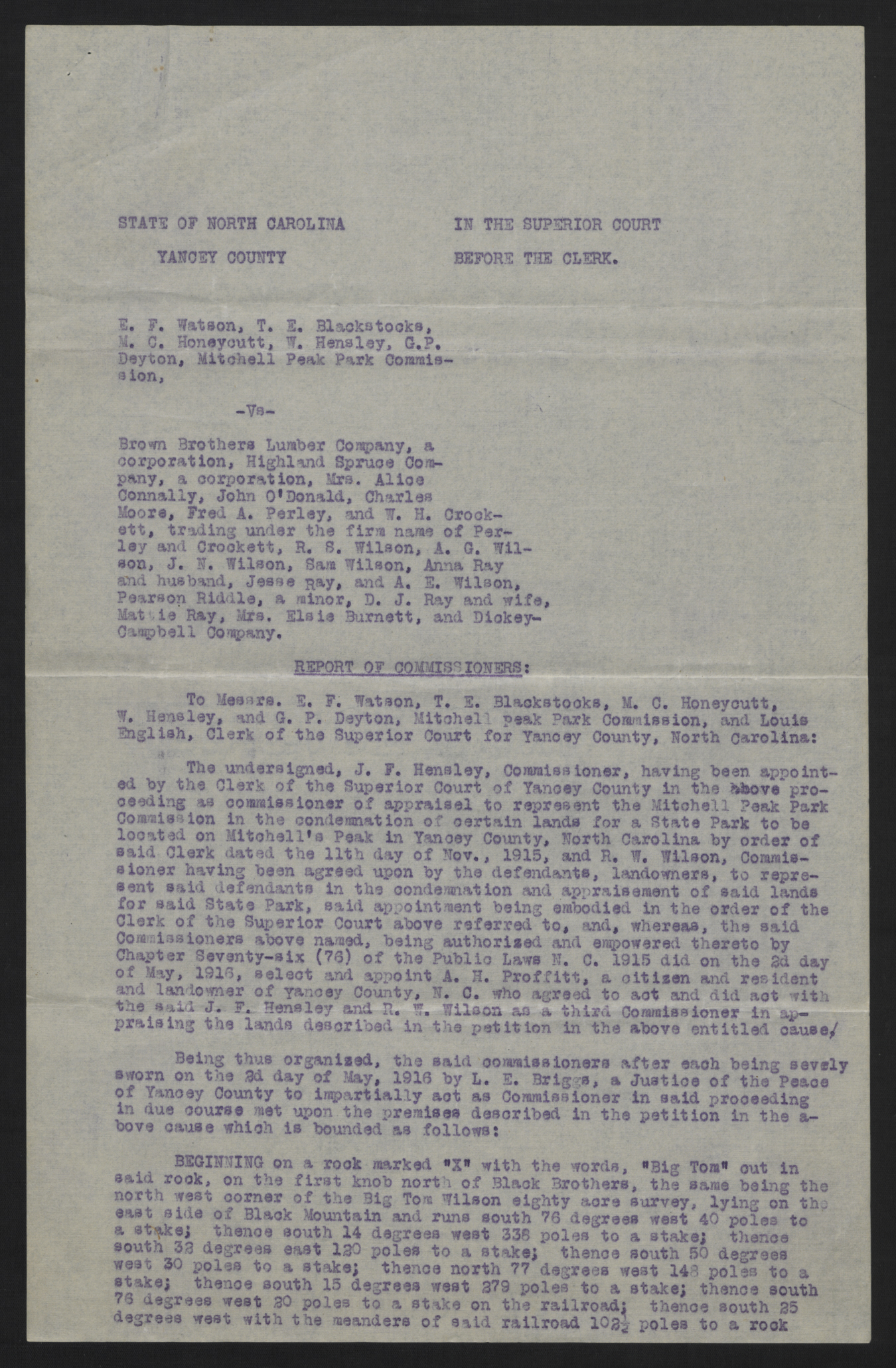
YANCEY COUNTY
IN THE SUPERIOR COURT
BEFORE THE CLERK.
E. F. Watson, T. E. Blackstocks, M. C. Honeycutt, W. Hensley, G. P. Deyton, Mitchell Peak Park Commission,
-Vs-
Brown Brothers Lumber Company, a corporation, Highland Spruce Company, a corporation, Mrs. Alice Connally, John O'Donald, Charles Moore, Fred A. Perley, and W. H. Crockett, trading under the firm name of Perley and Crockett, R. S. Wilson, A. G. Wilson, J. N. Wilson, Sam Wilson, Anna Ray and husband, Jesse Ray, and A. E. Wilson, Pearson Riddle, a minor, D. J. Ray and wife, Mattie Ray, Mrs. Elsie Burnett, and Dickey-Campbell Company.
REPORT OF COMMISSIONERS:
To Messrs. E. F. Watson, T. E. Blackstocks, M. C. Honeycutt, W. Hensley, and G. P. Deyton, Mitchell Peak Park Commission, and Louis English, Clerk of the Superior Court for Yancey County, North Carolina:
The undersigned, J. F. Hensley1, Commissioner, having been appointed by the Clerk of the Superior Court of Yancey County in the above proceeding as commissioner of appraisel to represent the Mitchell Peak Park Commission in the condemnation of certain lands for a State Park to be located on Mitchell's Peak in Yancey County, North Carolina by order of said Clerk dated the 11th day of Nov., 1915, and R. W. Wilson, Commissioner having been agreed upon by the defendants, landowners, to represent said defendants in the condemnation and appraisement of said lands for said State Park, said appointment being embodied in the order of the Clerk of the Superior Court above referred to, and, whereas, the said Commissioners above named, being authorized and empowered thereto by Chapter Seventy-six (76) of the Public Laws N. C. 1915 did on the 2d day of May, 1916, select and appoint A. H. Proffitt, a citizen and resident and landowner of Yancey County, N.C. who agreed to act and did act with the said J. F. Hensley and R. W. Wilson as a third Commissioner in appraising the lands described in the petition in the above entitled cause.
Being thus organized, the said commissioners after each being sevely sworn on the 2d day of May, 1916 by L. E. Briggs, a Justice of the Peace of Yancey County to impartially act as Commissioner in said proceeding in due course met upon the premises described in the petition in the above cause which is bounded as follows:
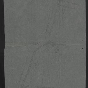
BEGINNING on a rock marked "X" with the words, "Big Tom" cut in said rock, on the first knob north of Black Brothers, the same being the north west corner of the Big Tom Wilson eighty acre survey, lying on the east side of Black Mountain and runs south 76 degrees west 40 poles to a stake; thence south 14 degrees west 338 poles to a stake; thence south 32 degrees east 120 poles to a stake; thence south 50 degrees west 30 poles to a stake; thence north 77 degrees west 148 poles to a stake; thence south 15 degrees west 279 poles to a stake; thence south 76 degrees west 20 poles to a stake on the railroad; thence south 25 degrees west with the meanders of said railroad 102 1/2 poles to a rock marked "X" on the east side of Step's Gap, including Step Spring; From this point Step Spring rises north 17 1/2 east 58 feet distance; thence north 75 degrees west 24 poles to a stake; thence north 15 degrees east 404 poles to a stake; thence north 36 degrees east 228 poles to a stake; thence north 14 east 203 poles to a stake; thence south 76 degrees west 40 poles to the beginning, containing 513 3/4 acres.
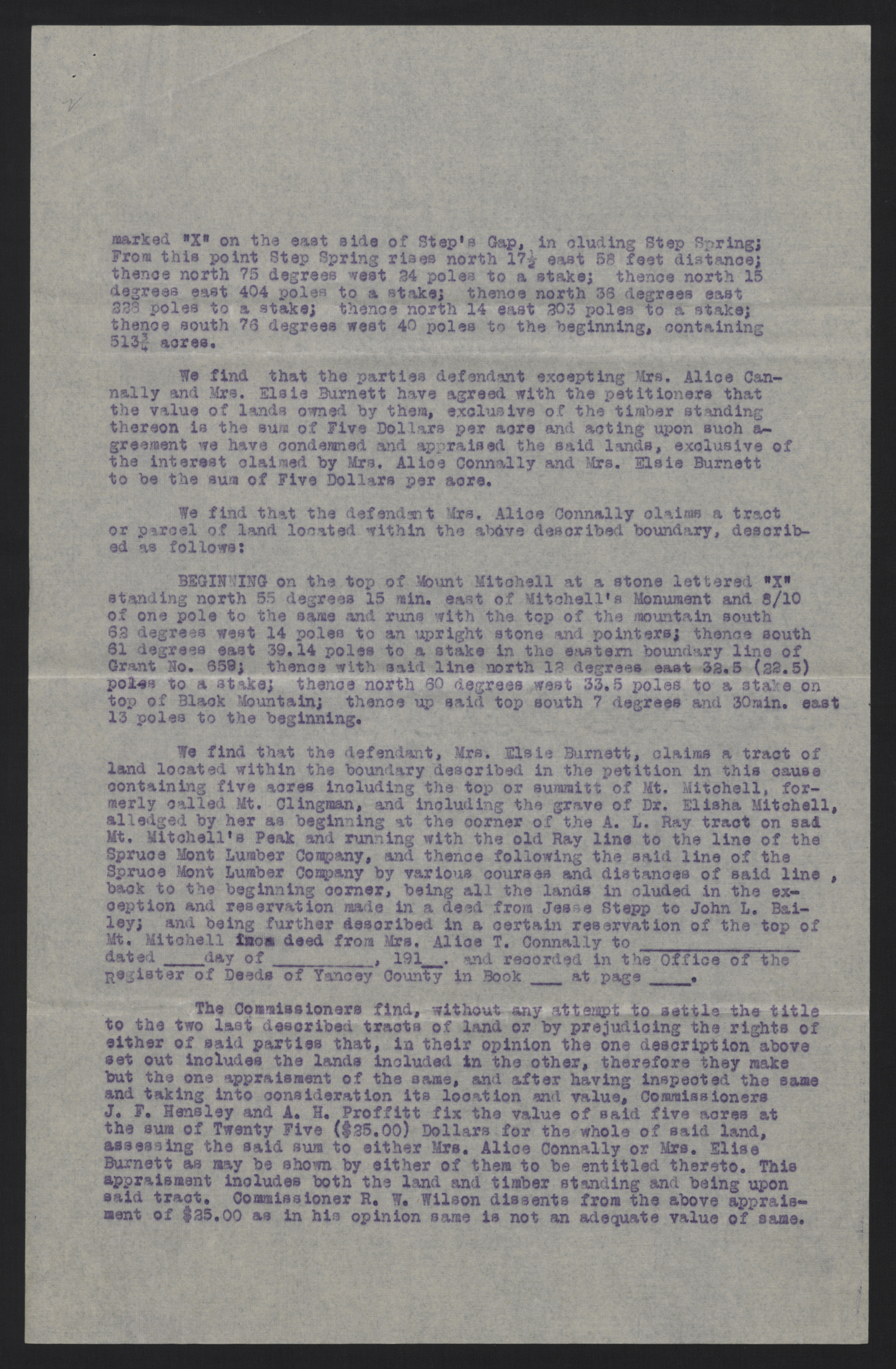
We find that the parties defendant excepting Mrs. Alice Cannally and Mrs. Elsie Burnett have agreed with the petitioners that the value of lands owned by them, exclusive of the timber standing thereon is the sum of Five Dollars per acre and acting upon such agreement we have condemned and appraised the said lands, exclusive of the interest claimed by Mrs. Alice Connally and Mrs. Elsie Burnett to be the sum of Five Dollars per acre.
We find that the defendant Mrs. Alice Connally claims a tract or parcel of land located within the above described boundary, described as follows:
BEGINNING on the top of Mount Mitchell at a stone lettered "X" standing north 55 degrees 15 min. east of Mitchell's Monument and 8/10 of one pole to the same and runs with the top of the mountain south 62 degrees west 14 poles to an upright stone and pointers; thence south 61 degrees east 39.14 poles to a stake in the eastern boundary line of Grant No. 659; thence with said line north 12 degrees east 32.5 (22.5) poles to a stake; thence north 60 degrees west 33.5 poles to a stake on top of Black Mountain; thence up said top south 7 degrees and 30min. east 13 poles to the beginning.
We find that the defendant, Mrs. Elsie Burnett, claims a tract of land located within the boundary described in the petition in this cause containing five acres including the top or summitt of Mt. Mitchell, formerly called Mt. Clingman, and including the grave of Dr. Elisha Mitchell, alledged by her as beginning at the corner of the A. L. Ray tract on said Mt. Mitchell's Peak and running with the old Ray line to the line of the Spruce Mont Lumber Company, and thence following the said line of the Spruce Mont Lumber Company by various courses and distances of said line, back to the beginning corner, being all the lands included in the exception and reservation made in a deed from Jesse Stepp to John L. Bailey; and being further described in a certain reservation of the top of Mt. Mitchell from deed from Mrs. Alice T. Connally to [blank] dated [blank] day of [blank], 191_. and recorded in the Office of the Register of Deeds of Yancey County in Book [blank] at page [blank].
The Commissioners find, without any attempt to settle the title to the two last described tracts of land or by prejudicing the rights of either of said parties that, in their opinion the one description above set out includes the lands included in the other, therefore they make but the one appraisment of the same, and after having inspected the same and taking into consideration its location and value, Commissioners J. F. Hensley and A. H. Proffitt fix the value of said five acres at the sum of Twenty Five ($25.00) Dollars for the whole of said land, assessing the said sum to either Mrs. Alice Connally or Mrs. Elise Burnett as may be shown by either of them to be entitled thereto. This appraisment includes both the land and timber standing and being upon said tract. Commissioner R. W. Wilson dissents from the above appraisment of $25.00 as in his opinion same is not an adequate value of same.
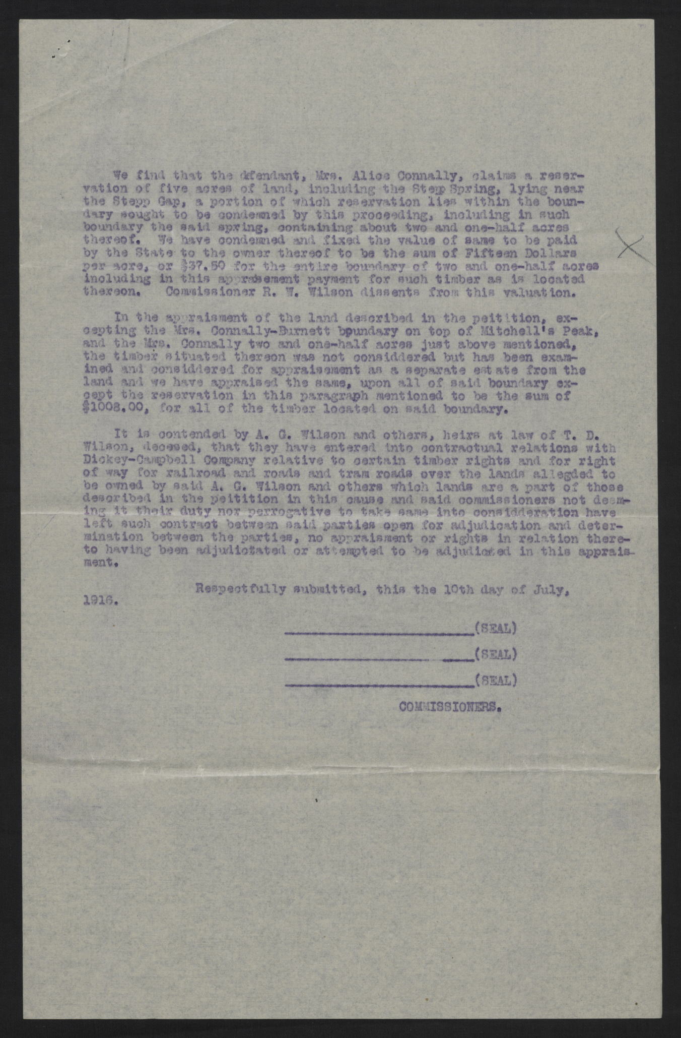
We find that the defendant, Mrs. Alice Connally, claims a reservation of five acres of land, including the Stepp Spring, lying near the Stepp Gap, a portion of which reservation lies within the boundary sought to be condemned by this proceeding, including in such boundary the said spring, containing about two and one-half acres thereof. We have condemned and fixed the value of same to be paid by the State to the owner thereof to be the sum of Fifteen Dollars per acre, or $37.50 for the entire boundary of two and one-half acres including in this appraisement payment for such timber as is located thereon. Commissioner R. W. Wilson dissents from this valuation.
In the appraisment of the land described in the peitition, excepting the Mrs. Connally-Burnett boundary on top of Mitchell's Peak, and the Mrs. Connally two and one-half acres just above mentioned, the timber situated thereon was not considdered but has been examined and considdered for appraisement as a separate estate from the land and we have appraised the same, upon all of said boundary except the reservation in this paragraph mentioned to be the sum of $1008.00, for all of the timber located on said boundary.
It is contended by A. G. Wilson and others, heirs at law of T. D. Wilson, decesed, that they have entered into contractual relations with Dickey-Campbell Company relative to certain timber rights and for right of way for railroad and roads and tram roads over the lands allegded to be owned by said A. G. Wilson and others which lands are a part of those described in the peitition in this cause and said commissioners not deeming it their duty nor perrogative to take same into considderation have left such contract between said parties open for adjudication and determination between the parties, no appraisment or rights in relation thereto having been adjudictated or attempted to be adjudicated in this appraisment.
Respectfully submitted, this the 10th day of July, 1916.
[blank] (SEAL)
[blank] (SEAL)
[blank] (SEAL)
COMMISSIONERS.
1. Most likely Jacob Frank Hensley, of Yancey County.
Date:
Sender:
Recipient:
Related People:
Blackstock, Thomas Edgar
Honeycutt, Murray Cornelius Arsemus
Hensley, Wilson W. (McMahan)
Deyton, Gaston Basil
Brown Brothers Lumber Company
Highland Spruce Company
Connally, Alice C. (née Thomas)
O'Donnell, John
Moore, Charles Augustus
Perley, Frederick Allen
Crockett, William Herbert
Perley & Crockett
Wilson, Richard Caswell Swain
Wilson, Adolphus Greenlee "Dolph"
Wilson, Joseph Nelson
Wilson, Samuel M.
Ray, Anna Liza "Annie" (née Wilson)
Ray, Jesse W. "Jess"
Wilson, Arthur Ewart
Riddle, Pearson K.
Ray, Daniel Jefferson
Ray, Mattie E. (née Riddle)
Burnett, Elsie Elmina (née Cordell)
Dickey and Campbell Lumber Company
English, Samuel Louis
Hensley, Jacob Frank
Wilson, Robert Wilfong
Proffitt, Albert Hooker
Briggs, Lewis Edward
Wilson, Thomas "Big Tom" D.
Mitchell, Elisha
Ray, Amos Lafayette
Stepp, Jesse
Bailey, John Lancaster
Repository:
Collection:
Places:
»» North Carolina »» Yancey

